
|
TRAFFIC AND WEATHER |
||
|
Greater Montreal |
||
|
Traffic |
||
|
Weather |
||
|
Need to find average border crossing times? |
||
|
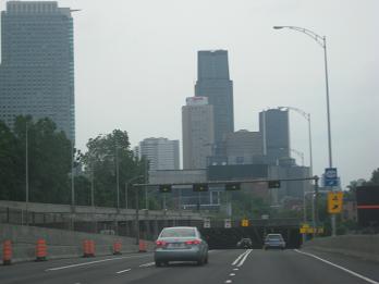
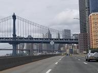
2021 photo by Scott Steeves. |
||
|
In-depth histories, exit lists, and current traffic conditions for individual autoroutes, categorized by geographic area. Includes information on unbuilt autoroutes. |
||
|
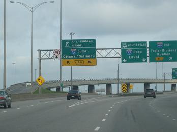
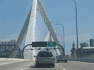
2013 photo by Steve Anderson. |
||
|
In-depth histories and current traffic conditions for individual bridges and tunnels, categorized by geographic area. Includes information on unbuilt crossings. |
||
|
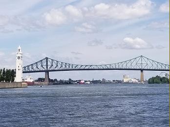
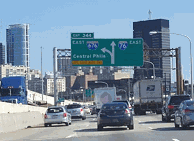
2019 photo by Steve Anderson. |
||
|
Maps and History |
||
|
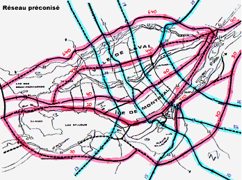
Old maps and planning studies covering the development of the Montreal-area arterial system. |
||
|
OTHER EASTERN ROADS SITES: |
||


|
|
||
|
Have a video from the road? |
||
|
(c) 1996-2025 by Eastern Roads. All rights reserved. Photo and content credits are noted throughout this site. Privacy policy is available online. |
||